
Competition · Dec 2023 · Grainger Computing Innovation Prize
Wildfire Guardian
A Grainger Computing Innovation Prize finalist for early wildfire detection, from a camera in the field to a phone alert.
Wildfire Guardian media, 1 items. Use the arrow keys to move.
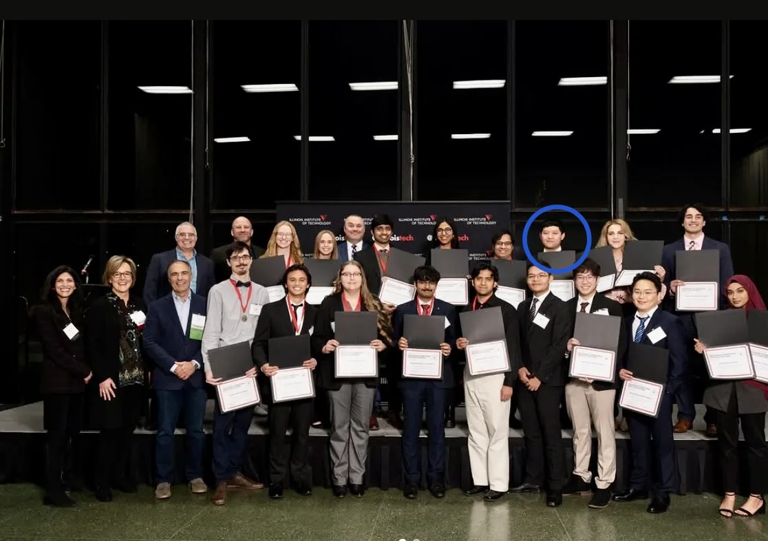
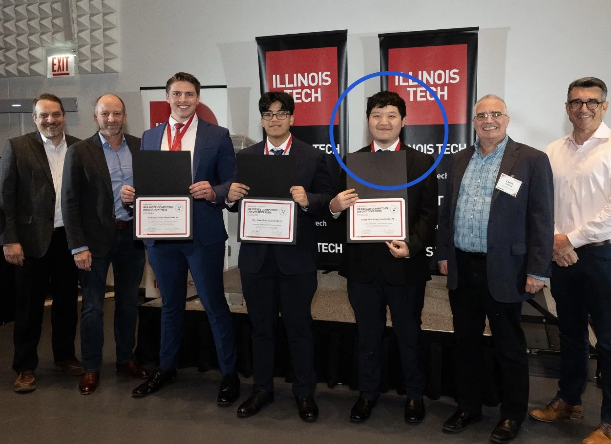
The Grainger prize group photo.
Wildfire Guardian is an early-detection system for smoke in the field, built so the alert does not wait for someone to look up and see the fire.
The problem
A wildfire that is reported when a person happens to see it is a wildfire that already has a head start. The situation is a camera, a patch of land, and a delay. The people it frustrates are the firefighters who need the location while the smoke is still smoke, and anyone living near a fire that was spotted late. A cost-effective early warning was the reason to build it, not a dashboard after the fact.
It was a Grainger Computing Innovation Prize finalist. Huiying Deng led it as his master’s graduating project, and the team built it with him. I am not going to write it as a solo project. The work was the path from a sensor in the field to a phone.
How I built it
Smoke recognition is YOLOv8, trained on a custom set in Roboflow, so the model is looking for the smoke in this project’s images rather than for a generic object. OpenCV and NumPy are the image path around that model. The point of a custom set is that a detector trained on the wrong smoke is a confident miss.
The hardware is a Raspberry Pi 4 and an Arduino Uno. On that rig: a thermal camera, a GPS module, a wind-speed sensor, and an alarm. The sensors talk to the Pi over I2C and SPI, and the Pi is where the frame is processed. GPS is there so the alert is a place, not just a picture. Wind speed is there so the alert can say something about where the fire is going, not only where it was seen.
A phone app raises the alert. PostGIS and GIS spatial analysis in R sit on the location side, for fire speed and location. The live write-up describes that spatial step as high accuracy. I am leaving it at that, because the repo does not publish a tighter figure for me to repeat.
The system is end to end on purpose. A model with no radio, or a sensor with no model, does not page anyone. Detection, the field hardware, the phone, and the map are one pipeline, and the prize recognition was for that system.
Challenges and what I learned
The model is the part that looks like the product, and it is not the product. YOLOv8 can name smoke in a frame and still leave a firefighter without a coordinate. The Pi, the Arduino, I2C, SPI, GPS, and the wind sensor are why the frame becomes a place and a direction. The limitation I will say out loud is the one the project already has: Huiying led it, the team built it, and the spatial claim stays at the accuracy the write-up already states.
Highlights
- Grainger Computing Innovation Prize finalist.
- Led by Huiying Deng as his master's project.